
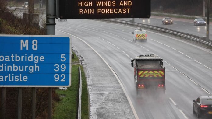

Weather maps are showing vivid colors indicating an approaching heavy rainstorm in the UK just before Christmas. Brits have been experiencing a series of unfavorable weather conditions this winter, characterized by wet and windy weather with above-average temperatures. The Met Office has issued three yellow weather alerts for the UK, forecasting significant rainfall across England, Scotland, and Wales over the upcoming weekend.
Looking ahead, the weather outlook appears increasingly grim, with new forecasts indicating prolonged and intense rain showers potentially leading to up to four inches of rainfall a week before Christmas. The latest data from WXCharts reveals an impending rain system hitting the UK around December 15, particularly impacting northern England and Wales. Southern and northern Wales are expected to face heavy rainfall, with rates reaching up to two inches per hour starting at noon on Monday.
The rainy conditions are predicted to move northward and intensify, resulting in severe showers in northern England, particularly in Yorkshire and the Lake District. The Lake District National Park could witness up to four inches of rainfall per hour between midday on the 15th and the same time the next day. Following a brief respite, the rainfall is forecasted to resume on the 18th, with areas in southern Wales and Devon, including Plymouth and Swansea, experiencing intense bursts of two inches per hour.
Most parts of the country are expected to receive between 0.7 to an inch of rainfall, except for regions along the east coast like Norfolk and Newcastle which are likely to remain dry. The Met Office’s extended forecast from December 16 to Christmas Day warns of the potential for heavy rain anywhere, with the west and northwest regions likely to experience the heaviest and most persistent rainfall compared to the east and southeast, which may see drier conditions.
The forecast also mentions the possibility of snow confined to high ground in the north, occasional strong winds with gale risks along the coasts and higher terrain, and temperatures expected to be above normal. Towards the end of the period, conditions may gradually stabilize, leading to reduced rainfall amounts and an increase in drier weather, especially in the southern regions, possibly accompanied by overnight fog and frost.