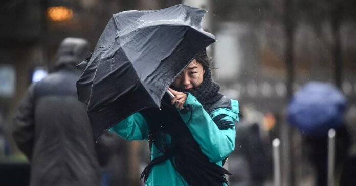
La upcoming weeks could see the UK weather affected once again by La Niña, with forecasters issuing warnings of strong winds sweeping across the country.
La Niña, the opposite of El Niño, is linked to powerful gusts and shifts in global rainfall and temperature patterns. The World Meteorological Organization (WMO) has reported a 55% likelihood of La Niña influencing weather conditions starting in September.
Although the arrival of La Niña, meaning “the girl” in Spanish, is not immediate, there is a potential for its development this autumn, cautioned Nick Finnis, a senior forecaster at Netweather.tv. This phenomenon involves a sporadic cooling of ocean waters in the central equatorial Pacific, leading to global weather alterations.
The cold sea temperatures and atmospheric changes triggered by La Niña impact the jet stream’s position, a high-speed air current encircling the Earth. This shift northwards can affect storm paths, precipitation levels, and atmospheric moisture absorption from the ocean.
The criteria for identifying La Niña events vary among agencies, with the Met Office indicating that sea temperatures typically drop 3°C to 5°C below average during such occurrences. La Niña brings cooler and drier conditions to the tropical eastern Pacific, but there are also neutral phases with weather closer to long-term norms.
The likelihood of La Niña occurring between October and December stands at around 60%. Despite this, WMO experts anticipate above-average temperatures worldwide during this period.
WMO Secretary-General Celeste Saulo highlighted the importance of seasonal forecasts for El Niño and La Niña in guiding preparedness and response strategies across various sectors like agriculture, energy, health, and transportation.
Mr. Finnis explained that a La Niña event is confirmed when water temperatures in the central and eastern tropical Pacific remain at least 0.5°C below normal for consecutive months. He anticipates a relatively weak and short-lived La Niña event developing by autumn.
The impact of La Niña on UK weather is more pronounced in winter and spring, with autumn forecasts often complicated by active hurricanes in the Atlantic Ocean. Mr. Finnis suggested that remnants of these hurricanes may reach Europe, potentially bringing warm and sunny conditions if tracking northwards over the Atlantic, or stormy and cool weather if directly affecting the UK.
While the immediate onset of La Niña is not expected, the possibility of its emergence by autumn raises the potential for global weather pattern shifts later in the season. Mr. Finnis emphasized that each La Niña event varies, leading to diverse winter outcomes.
Looking ahead, early September is anticipated to bring unsettled and occasionally windy weather across the UK, with low-pressure systems traversing the Atlantic from west to east. Temperatures are forecasted to be slightly below average initially before rising in the latter half of the month, accompanied by overall average rainfall.
The WMO’s latest update hints at above-normal temperatures in many parts of the Northern and Southern Hemispheres from September to November, resembling conditions often observed during a moderate La Niña episode.
