
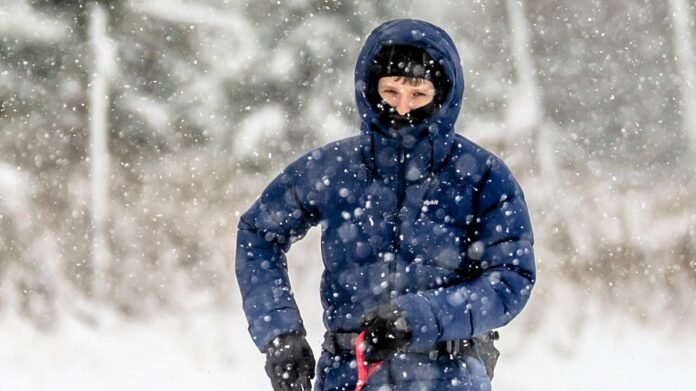

New snow maps for the UK indicate a significant portion of the country may experience continuous snowfall for a period lasting at least nine days. According to the latest forecasts from WXCharts based on MetDesk data, north-west Scotland is expected to witness persistent snow starting from December 20. Areas such as the Highlands, Grampian Mountains, and the Cairngorms could potentially be covered under heavy snow leading up to Christmas Day, increasing the likelihood of a white Christmas for Scotland. The most recent widespread white Christmas in the UK was in 2010, with Scotland being the focal point for snow this holiday season while England, Wales, and Northern Ireland are anticipated to miss out on the wintry conditions.
The snowfall is projected to concentrate over north-west Scotland initially from December 20 to 23 before extending across the country. By midday on Christmas Eve, snowy weather could reach central and eastern Scotland encompassing regions around Aberdeen and Glasgow. The snowfall is expected to persist in parts of Scotland on Christmas Day, with a broader settling of flakes anticipated in central and eastern areas on Boxing Day. Following this, from December 27 onwards, the snowfall is likely to retreat back towards north-west Scotland.
In the extended forecast covering December 19 to December 28, the Met Office suggests that showers or prolonged periods of rain are probable for many parts of the country initially, possibly intensifying at times. However, as the weekend progresses, the weather is expected to stabilize, with Scotland and Northern Ireland likely to experience this change first, while rain spells might take longer to clear in the southern regions.
Looking ahead to the week commencing on Christmas Day, the Met Office foresees that high pressure will become more prevalent, ushering in settled weather conditions characterized by lower temperatures, overnight frosts, and morning fog.